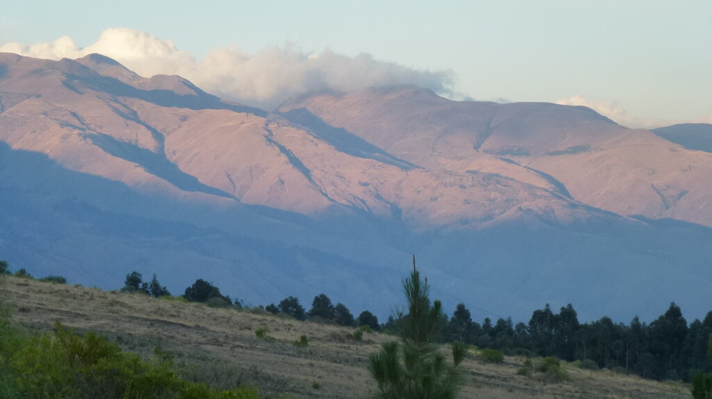
The Tunari National Park in Bolivia
The valley of Cochabamba is located in Bolivia at 2500 metres above sea level. The Eastern range of the Andes cordillera surrounds the valley, with its highest point at 5,035 metres above sea level in form of the Tunari mountain. In 1961 the cordillera surrounding the national park's valley was designated as Tunari National Park, and in 1991 it was extended once more along the East and West in order to secure the water supply of the city of Cochabamba and the surrounding communities. Despite the designation as a national park and a law to implement forestry measures, it has not been possible to stop logging and so-called slash-and-burn agriculture. The soil around the park's southern range of mountains where the agroforestry research centre Mollesnejta is located has been degrading so much recently that experts say that over the last three years its damage has doubled.
The National Park is home to 80,000 people
The National Park itself comprises an area of 3,090 km², with around 80,000 people living in its spread out villages, most of whom are smallholders. The farmers' communities are widely dispersed and sometimes very high up and can only be reached with great difficulty. Major Bolivian rivers originate from the cordillera of Cochamba, such as Santa Elena and Rio Catacajes in the West, Rio Caine and Rio Grande in the South and Rio Cahapare and Rio Ichilo in the East.
Plant trees now
More on dynamic agroforestry
More on the Vicuñas
Basic data: Tunari National Park

